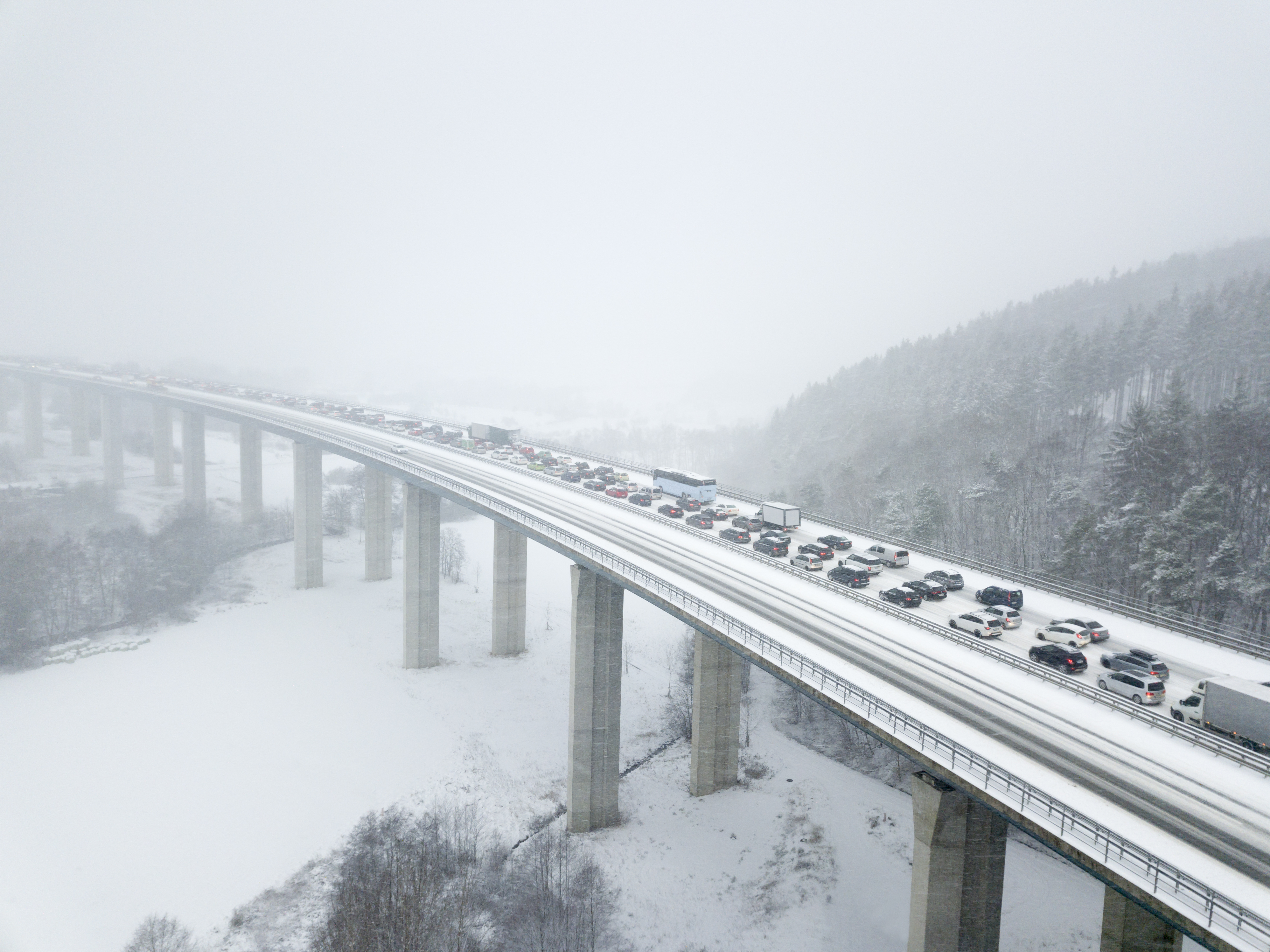
Winter Storm Hunter comes a week after Winter Storm Grayson hit the East Coast, bigger and more dangerous than its predecessor.
The storm rolled through the Plains yesterday, dispersing snow, sleet, and freezing rain. Conditions are predicted to go into Saturday.
Starting from the Northwest, the first phase of the storm moved Arctic air south, followed by snow and strong winds. Snow made it as far down as Texas, while blizzard conditions reached the Plains — closing almost 150 miles of Interstate 59.
Phase 2 will quickly follow, by tonight, reaching parts of the Tennessee Valley, Ohio Valley, Great Lakes, and Northeast. Snowfall is expected in most of these areas, even reaching as far south as Tennessee. The eastern Great Lakes area will experience the heaviest accumulation of snow.
Take full precaution as Winter Storm Hunter approaches your area. Hazardous travel conditions are expected as ice may accumulate to the extent of slick roads, power outages, and downed trees in some areas.
Make sure you are well prepared. Don’t leave your family at risk of danger. Get prepared now with the premier Emergency Case on the market.
Subscribe here for more updates and tips when you need it the most.
Reference:
https://weather.com/storms/winter/news/2018-01-11-winter-storm-hunter-snow-ice-forecast-midwest-northeast


